


Fish Lake is a high alpine lake nestled in a deep valley at the southern edge of the Wasatch Front. Manti is a small town that serves as a convient staging ground for access to the Manti-La Sal National Forest. This map contains many hundreds of miles of OHV trails with both the Arapeen and Goosberry ATV Trail Systems. The Paiute ATV Trail is shown from Koosharem in the south to Salina in the north.
Be the first to review “National Geographic Excellent 707 Fish Lake Manti- Topographic Map Utah”
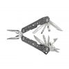
Related products
Sale!


$97.99
Sale!
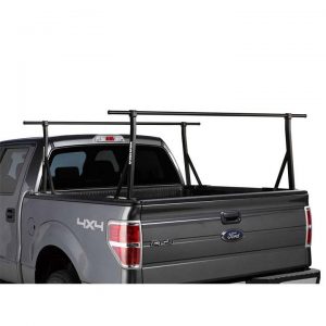
$94.99
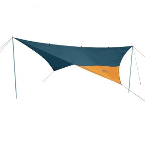
Sale!

$8.99
Sale!

Sale!

$27.99
Sale!
$59.99
Reviews
There are no reviews yet.